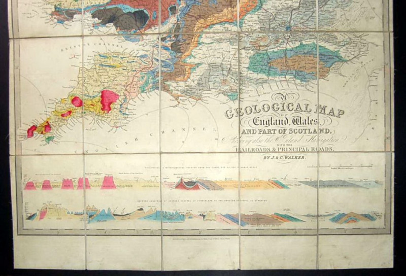
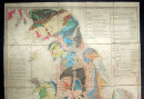
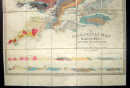
A Geological Map of England, Wales, and Part of Scotland. Showing also the Inland Navigation, with the Railroads & Principle Roads.


Book Description
Dealer Notes
Other books
If you liked the book you've just seen, you might be interested in other books from the same dealer below.
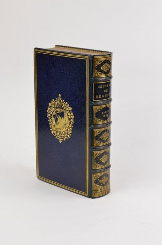
Oeuvres de Mathurin Regnier. Text Original, avec N...
REGNIER (Mathurin)
Paris: Alphonse Lemerre,
£1675.00
Offered by Forest Books
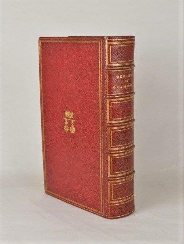
Memoires du Comte de Grammont. Avec Notice, Varian...
ZAEHNSDORF BINDING. HAMILTON (Antoine)
Paris: Alphonse Lemerre,
£85.00
Offered by Forest Books
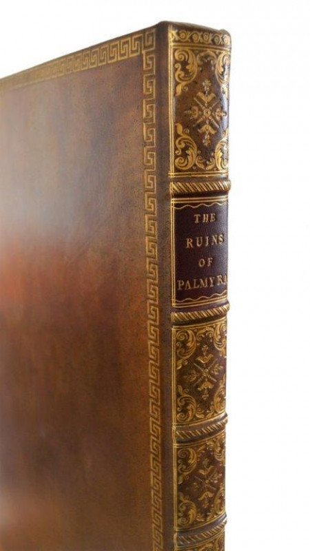
The Ruins of Palmyra, otherwise Tedmore, in the De...
WOOD (Robert)
London: [Published for the Author],
£7500.00
Offered by Forest Books
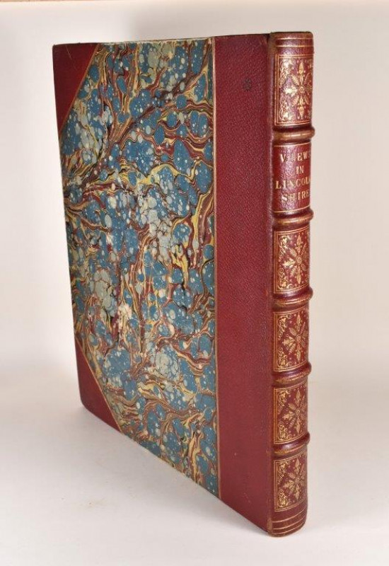
A Selection of Views in the County of Lincoln; Com...
[HOWLETT (Bartholomew)]
London: Published by William Miller,
£395.00
Offered by Forest Books
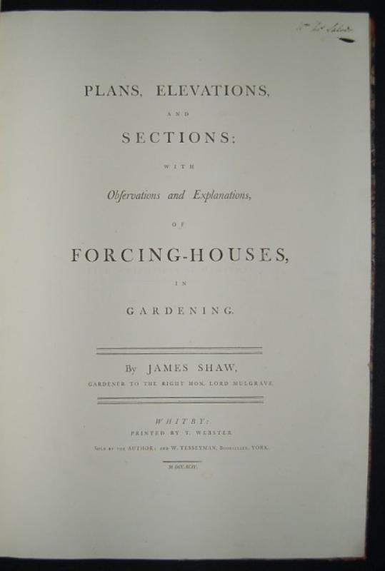
Plans, Elevations, and Sections; with Observations...
SHAW (James)
Whitby: Printed by T. Webster, Sold by the Author; and W. Tesseyman, Bookseller, York.
£5500.00
Offered by Forest Books
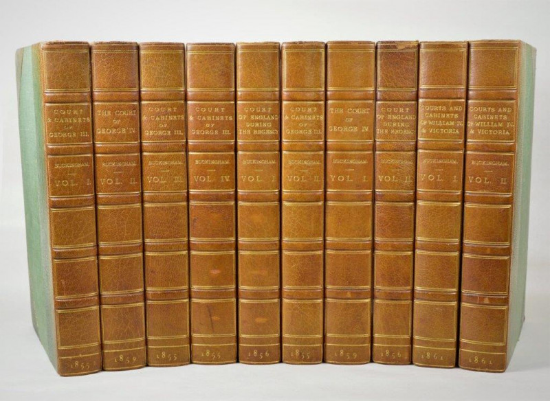
Memoirs of the Court and Cabinets of George the Th...
BUCKINGHAM AND CHANDOS (Richard Plantagenet Temple Nugent Brydges Chandos Grenville, Duke of, 1797-1861)
London: Hurst and Blackett,
£395.00
Offered by Forest Books
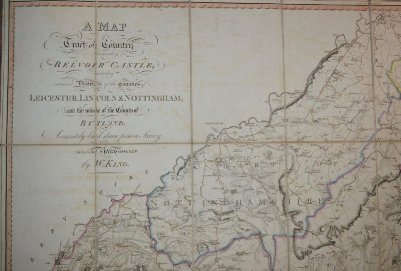
A Map of a Tract of Country Surrounding Belvoir Ca...
KING (William)
London: Engraved and sold by W. Faden, published Knipton, Nov. 8th,
£950.00
Offered by Forest Books
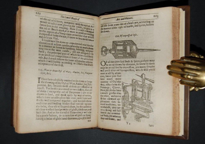
The Jewel House of Art and Nature: Containing Dive...
PLAT (Sir Hugh)
London: Printed by Bernard Alsop,
£2895.00
Offered by Forest Books
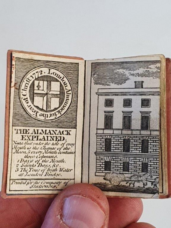
London Almanack for the Year of Christ 1772.
MINIATURE BOOK.
London: Printed for the Company of Stationers,
£225.00
Offered by Forest Books
Friends of the PBFA
Please email info@pbfa.org for more information